Photo Walk
A project designed to give photographers a guided tour of local photo opportunities
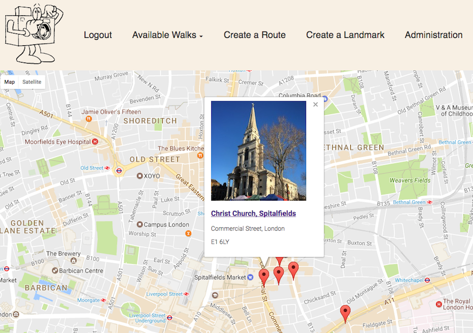
As a long time photographer and participant in photo walks with friends, I wanted to try my hand at an application that could combine the Google Map API with the idea of marking specific known photo opportunities. The idea crystallised when I was given a gift of the book “Whitechapel in 50 Buildings” by Louis Berk and Rachel Kolsky for Christmas. This provided me with a ready source of locations nearby where General Assembly were operating from.
Project Aims
- Build an application that would leverage the Google Maps API
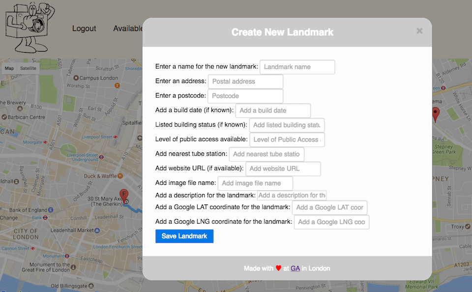
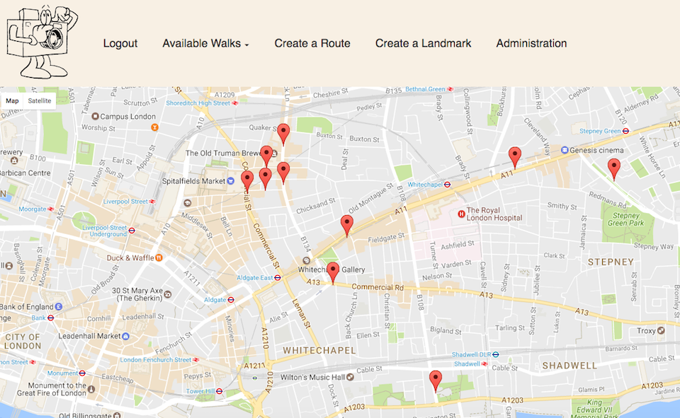
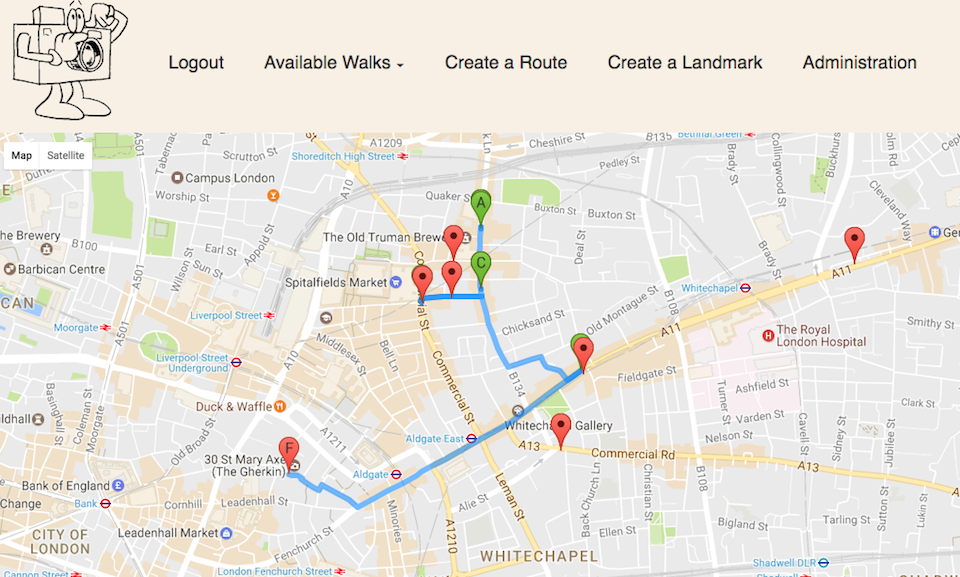
- Provide the ability for users to create their own walk by either selecting existing landmarks, or by adding landmarks of their own
- Give the user the ability to record their walks and show the images they took during it
Technologies Used
- HTML
- CSS
- JavaScript (inc. some ES6)
- Express.js framework
- MongoDB API
- Google Maps
- JWT token authentication
- SASS
- Pure.css
- Gulp
- Babel
Successes
- Building an API to house the locations to be placed on the map, and getting this seeded with suitable data
- Creating a re-useable (DRY) function for creating a modal where required
- Learning how the Google Maps API works, and seeing the extent to which it can be manipulated
Challenges
- Working with a single
client.jsfile that contained API, map, template and application logic - Developing a good understanding of MVC build patterns and the way which they are structured
- Time constraints involved in creating a minimum viable product
Future Development
- Add the ability to upload images
- Enhance the ‘admin’ functionality and backend management tools
Live Version
- a live version of the app can be found on Heroku at ‘Photo Walk’
- The code for the app can be located on ‘GitHub’ - ‘WDI_PROJECT_2’
- To get started, register on the site as a new user